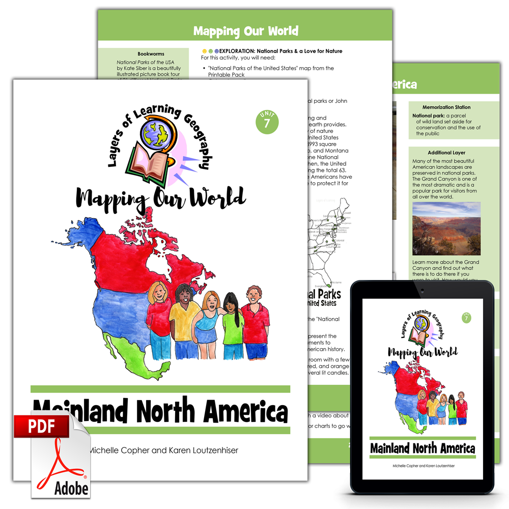
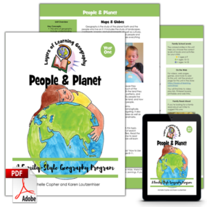
Mainland North America is the seventh unit in the Mapping Our World geography course. This unit begins by learning about time zones. Then students learn about the countries of Canada, the United States of America, and Mexico.
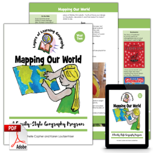
Each Mapping Our World unit includes a skills lesson about maps and map making followed by a focus on a specific region of the world. By the time you complete the entire four year cycle of Layers of Learning Geography you will have covered the entire world and learned the skills and knowledge needed to analyze and understand maps, cultures, people, governments, and the planet all over the world.
This unit is a guide for the mentor to use in creating lessons and directing discussions and learning. It is not a textbook for the student.
This unit includes sections on:
- Time Zones
- Canada
- United States
- Mexico
This is an activity based curriculum. You pick activities to do as you read books and watch videos about countries and the countries of Mainland North America. Here are some of the activities found in this unit:
- Color a map of all 24 time zones around the world
- Play a printable time zone challenge game
- Play a living room game of hockey
- Paint a Canadian flag with areal maple leaf print
- Collaboratively craft a Canadian multicultural paper quilt
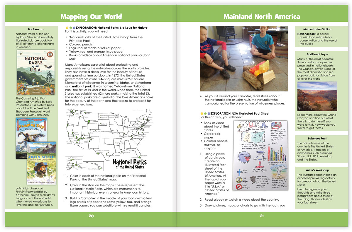
- Color a map of America’s national parks and then sit around a “campfire” learning about the founding of the National Parks
- Color a population map of the United States
- Color the Mexican flag and learn about the legend depicted in the middle
- Make model boats from Mexico City’s Xochimilco Lake
- Plus much more!
See Inside
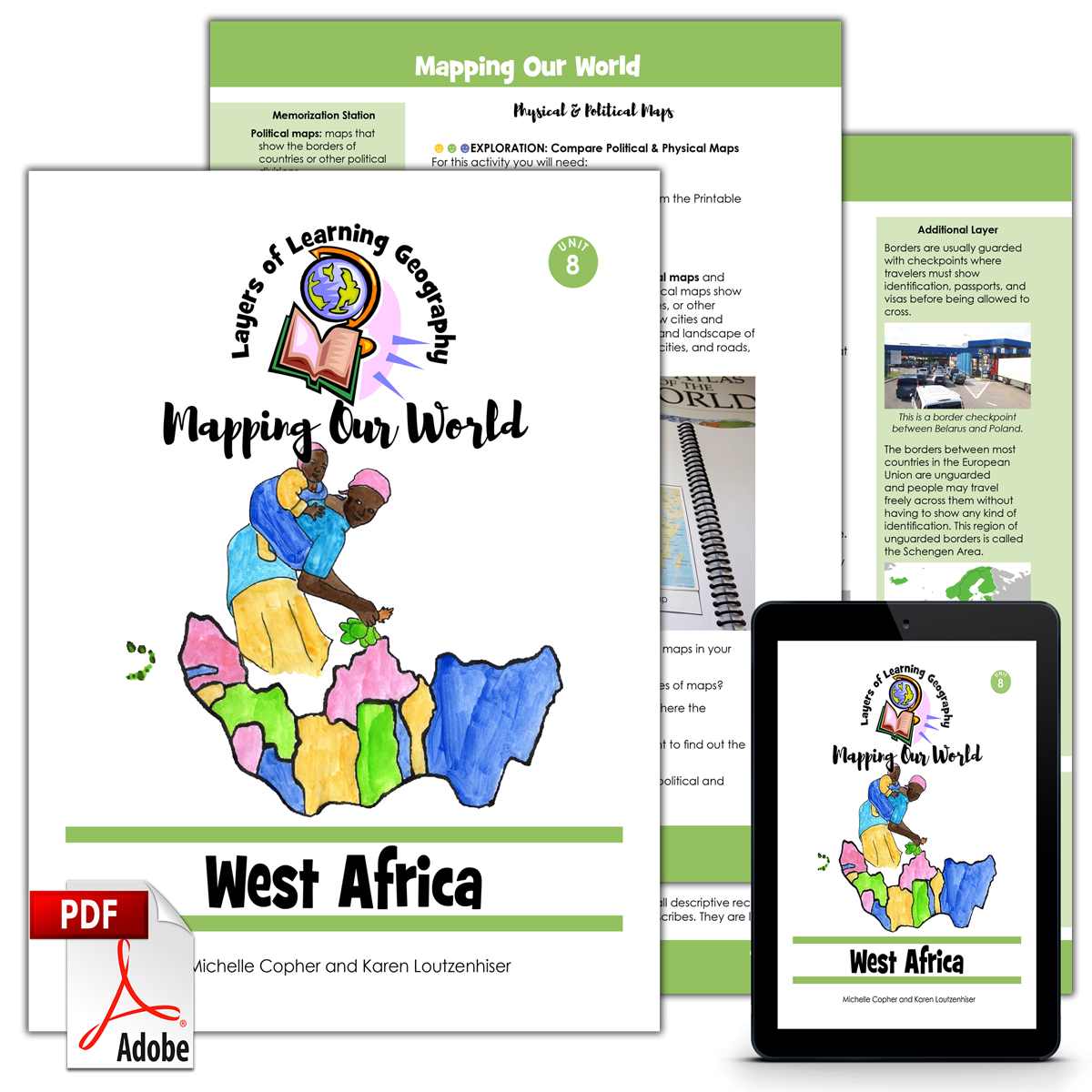
This is double page spread of the inside of the Mainland North America unit:
Each Layers of Learning Geography unit includes library lists of books, a family read-aloud suggestion, hands-on activities, printables and paper crafts, sidebars for extra learning, and tools to help you assess student’s progress and mastery. Learn more about how Layers of Learning works.
Flexibility
This unit was written to be used for a month but contains plenty of content for many more weeks of learning if you choose. This is a pick-and-choose curriculum, meant to be cycled back to in the future when your child is older. As such, it intentionally includes far more material than you can possibly cover in a month.
Mainland North America is also part of the overall Mapping Our World, the second Year of the four-year Layers of Learning Geography cycle. If you use the program in order, it will take you though the geography of the world from continents and the physical planet in Year One, to mapping skills in Year Two, then to cultures in Year Three, and finally, to government and society in Year Four. Every year is also a tour of the whole planet, making stops on every continent. However, each unit stands alone and can be used independently of any other unit.
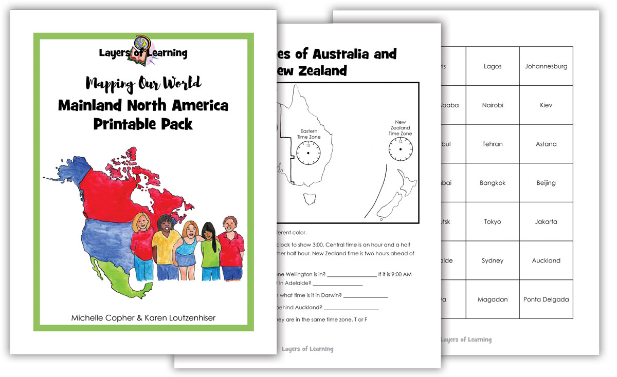
Printable Pack
This unit comes with a downloadable Printable Pack that includes all the student worksheets. The printables can be copied as many times as needed for your family or class.
You can download the Printable Pack from your receipt or from your account at Layers of Learning.
Extra Resources
This unit comes with extra weblinks and a YouTube video playlist on the Mapping Our World Resources page.

Reviews
There are no reviews yet.