
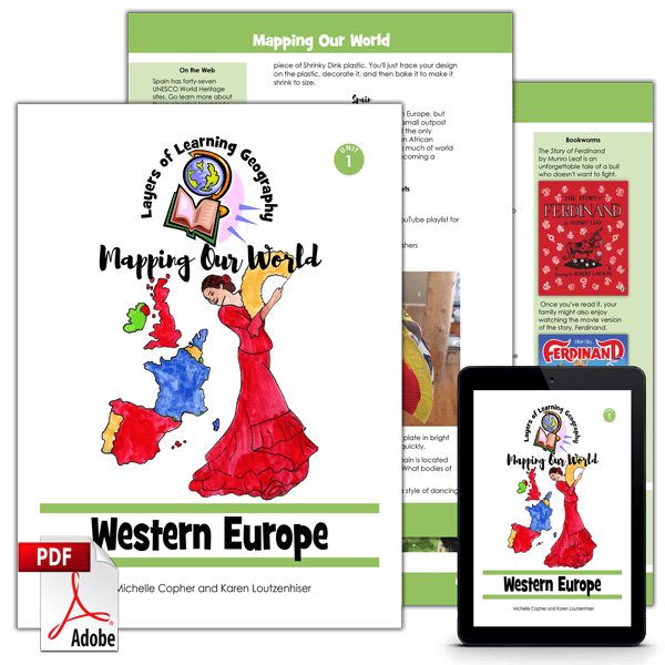

Western Europe is the first unit in the Mapping Our World geography course. In this unit you will learn about the countries of western Europe and also what makes a country a country.
Each Mapping Our World unit includes a skills lesson about maps and map making followed by a focus on a specific region of the world. By the time you complete the entire four year cycle of Layers of Learning Geography you will have covered the entire world and learned the skills and knowledge needed to analyze and understand maps, cultures, people, governments, and the planet all over the world.
This unit is a guide for the mentor to use in creating lessons and directing discussions and learning. It is not a textbook for the student.
This unit includes sections on:
- What Is a Country?
- United Kingdom
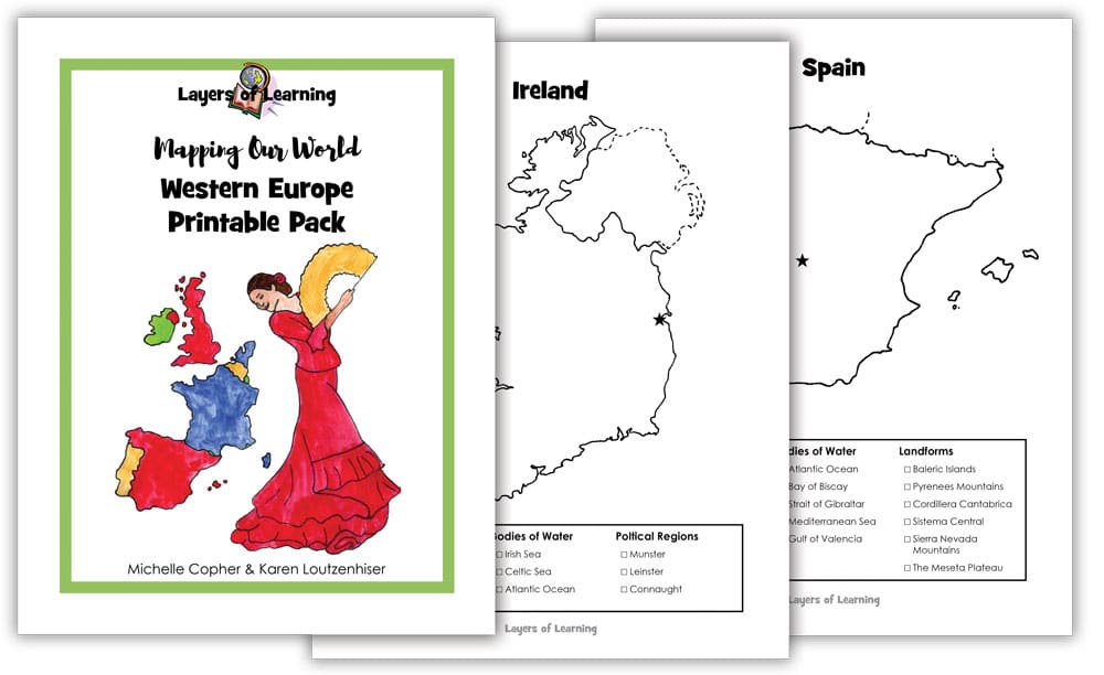
- Ireland
- Spain
- France
- Netherlands
This is an activity based curriculum. You pick activities to do as you read books and watch videos about countries and the countries of western Europe. Here are some of the activities found in this unit:
- Develop your own definition of a country and use cut outs to notebook about it
- Complete and color a country fact sheet for your country and one other to compare the basic stats
- Cook crumpets or scones (or crumpets and scones) and have a British tea party
- Craft a Union Jack from felt
- Make a Puck puppet from based on the Puck Fair of Killorglin, Ireland
- Watch Irish step dancers and then try it yourself
- Play a Running of the Bulls game
- Craft a paper Eiffel Tower
- Paint your own “Defltware”
- And much more!
See Inside
This is double page spread of the inside of the Western Europe unit:
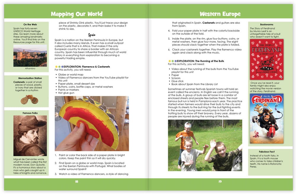
The sidebars contain extra information to add to your learning including facts to read, additional information to pursue, extra books to read, things to discuss as a group, and writing ideas. The center, large section of the book, is filled with ideas for hands on learning to fill out the things you learn from your reading and to make homeschool fun. The hands-on can be done as a group, the whole family learning together.
The beginning of the Western Europe unit includes a Library List of book titles we recommend to go with this unit. It also contains a set of search terms to use at your library to take advantage of the resources that are available. The Library List is pick and choose as well, just select the titles that are available and interest you.
Each Layers of Learning Geography unit includes library lists of books, a family read-aloud suggestion, hands-on activities, printables and paper crafts, sidebars for extra learning, and tools to help you assess student’s progress and mastery. Learn more about how Layers of Learning works.
Flexibility
This unit was written to be used for a month but contains plenty of content for many more weeks of learning if you choose. This is a pick-and-choose curriculum, meant to be cycled back to in the future when your child is older. As such, it intentionally includes far more material than you can possibly cover in a month.
Western Europe is also part of the overall Mapping Our World, the second Year of the four-year Layers of Learning Geography cycle. If you use the program in order, it will take you though the geography of the world from continents and the physical planet in Year One, to mapping skills in Year Two, then to cultures in Year Three, and finally, to government and society in Year Four. Every year is also a tour of the whole planet, making stops on every continent. However, each unit stands alone and can be used independently of any other unit.
Printable Pack
This unit comes with a downloadable Printable Pack that includes all the student worksheets. The printables can be copied as many times as needed for your family or class.
You can download the Printable Pack from your receipt or from your account at Layers of Learning.

Extra Resources
This unit comes with extra weblinks and a YouTube video playlist on the Mapping Our World Resources page.

leeloo66 –
We had lots of fun doing this unit! It went well with the history of medieval Europe. My son’s favorite things were all the video links – especially the tours- and the yummy recipes!