This exploration is for all ages, as the colored smilies show. You can do this map grids exploration with your whole family together!


The Grid on our Earth map exploration is a geography exploration from the Near East unit which is about the countries in the Near East and also the global grid system of latitude and longitude. Layers of Learning geography units include country explorations and as well as a geography skill in each unit. Learn more about Layers of Learning.
The first maps made of our earth weren’t very accurate at all. They were mostly drawn from imagination. The European maps from these medieval times are called Mappae Mundi (meaning “cloth of the world”) and they really weren’t intended to be used for finding your way around at all. Instead, they were more like medieval encyclopedias that were used to illustrate stories, show directions, and tell about species of animals, other races of people, and plants from places near and far. Furthermore, mapmakers of their day really couldn’t have made the accurate maps we use today because we rely on satellite imagery that wasn’t available all those years ago.
First, take a look at this Mappa Mundi. It would’ve been used to teach stories rather than navigate. Can you spot a story that’s familiar to you?

Our world maps today are incredibly accurate, except that we still have difficulty depicting a round earth on a flat piece of paper without skewing parts of it. (Generally, school children believe that Antarctica is a long, skinny continent when it’s actually quite roundish.) Satellite technology, computer graphics, and aerial photos give us a very clear picture of just what our maps should display. With accurate maps and GPS systems built directly into our smartphones, it’s pretty easy for us to navigate around this globe of ours.
We can also use latitude and longitude to accurately find the location of things on a map. That’s what we’re going to be doing in the Grid on our Earth exploration.
Step 1: Library Research
Before you try the map activity, read a book or two about maps. Here are some suggestions, but if you can’t find these, look for books at your library about latitude, longitude, or maps. The colored smilies above each book tell you what age level they’re recommended for.
As Amazon affiliates, the recommended books and products below kick back a tiny percentage of your purchase to us. It doesn’t affect your cost and it helps us run our website. We thank you!
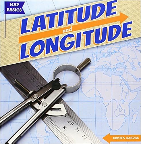
Latitude and Longitude
by Kristen Rajczak
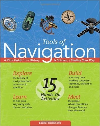
Tools of Navigation
by Rachel Dickinson
Longitude
by Dava Sobel

Step 2: A Grid on our Earth
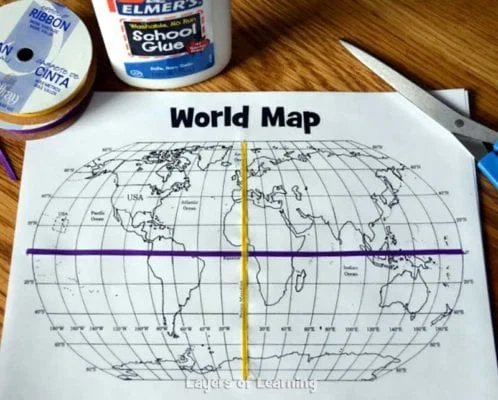
To do this map grids exploration you’ll need colorful thin ribbon or yarn, school glue, markers, scissors, and the printable world map.


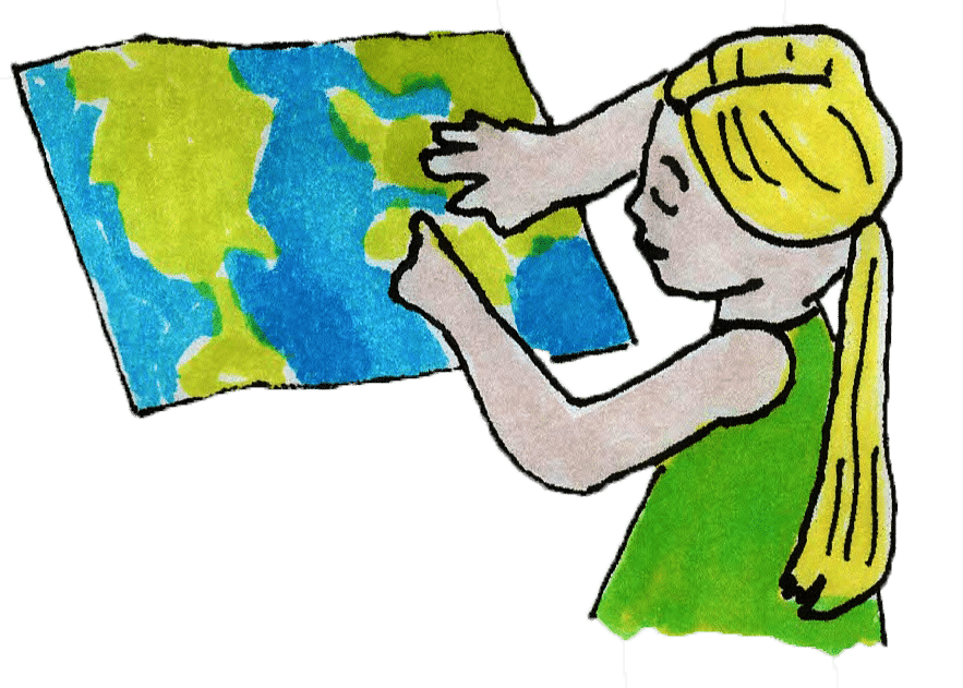
Even though we have GPS these days, it’s still important for us to understand how our map grid system works. Map grids are pretty simple; young kids can begin by just adding 2 of our imaginary gridlines – the equator and the prime meridian. These are like the zero lines for the rest of our earth’s grid.
Use this printable map of the world and glue a piece of ribbon to the equator. We used purple ribbon for the equator. If we were standing on the equator, we wouldn’t see a line at all. We have just put an imaginary line on our maps to represent the line that divides the globe in half, exactly the same distance from the North Pole to the South Pole.
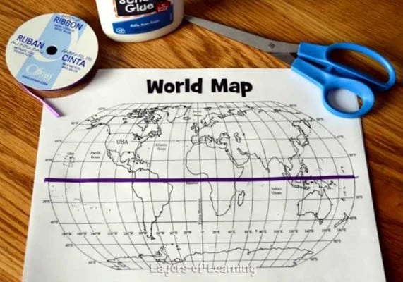
Then, we added the prime meridian – a yellow ribbon. The prime meridian is a line we use to divide the eastern hemisphere (half-globe) from the western hemisphere. Again, just an imaginary line mapmakers use.
More About Latitude and Longitude
Next, older students can also learn the other lines of latitude and longitude. After the ribbon equator and prime meridian have been added, begin giving grid coordinates and have the kids highlight each of the given latitude and longitude lines with colored markers and find the spot where they intersect with their finger.
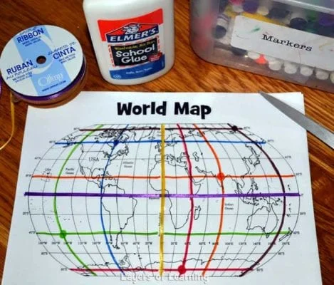
We put a matching colored dot on our intersection points as well. These are the coordinates we used:
- Orange line (20 degrees North, 80 degrees East)*
- Green line (40 degrees South, 140 degrees West)
- Brown line (80 degrees North, 160 degrees East)
- Red line (80 degrees South, 40 degrees East)
- Blue line (60 degrees North, 80 degrees West)
*Latitude lines are always listed before longitude lines in coordinates.
Step 3: Show What You Know
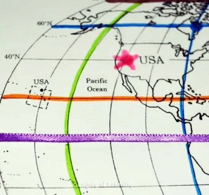
Finally, to show they understand how latitude and longitude work, have each kid find a location of their choice on the map and tell what the latitude and longitude location is for that spot. Next, have everyone find the latitude and longitude lines that correspond with where you live on the globe. Mark that spot on the map with a star.
Additional Layers
Additional Layers are extra activities you can do or tangents you can take off on. You will find them in the sidebars of each Layers of Learning unit. They are optional, so just choose what interests you.
Additional Layer
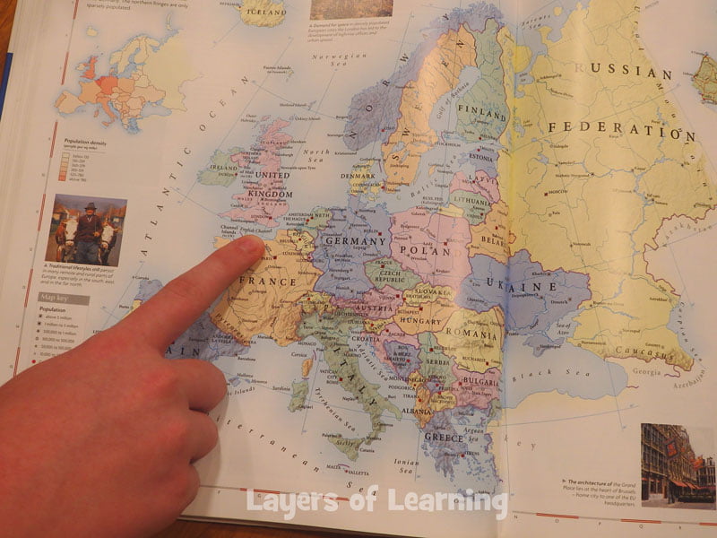
Learn to list specific coordinates of cities and landmarks. Look at an atlas and practice using the grids within it to find locations.
Additional Layer
Make sure to talk about those coordinates that don’t fall precisely on a visible line on your map and how to name those as well.
Layers of Literature

Read Carry On, Mr. Bowditch aloud as a family to hear the story of Nat, a young sailor and mathematician who mastered sea navigation long before GPS.
Get a Free Unit
Choose between the first unit in each Layers of Learning subject to try for free when you sign up for the newsletter.
We never spam and you can cancel your subscription at any time.

Thank you for the great ideas! I’m using these today with my kids in our study of Pirates, and I’ll be sharing on my blog, too.
Awesome Nicki! 🙂
This is a truly fun, instructive activity! Thanks for sharing it with us! My 5th graders loved it, and it helped them visualize Latitude/longitude so much better, and also had fun finding other places on the map.
Thanks Janet! We love to hear when the things we write help kids learn better! Thanks for being an awesome teacher and going the extra mile for your kids.
I am a teacher from the Philippines, i saw your site at you tube and use your technique and the procedure on how to teach the grid of the globe. my pupils got the lesson quick and the same time they had fun doing the activity being creative at the same time fun… I’m so happy i found this site… thank you and more power!
A fun and interesting activity. Thank you for sharing.
A great learning website!-MD
Hi! Can you please check the link for the printable map? It isn’t downloading for me. Might be an issue on my end, not sure.
Or is it possible to email it to me please?
Dawn, thanks for finding the broken link and letting us know. It is fixed now. I will shoot the pdf map to you in an email as well!