This exploration is for all ages, as the colored smilies show. You can color a Canada map with your whole family together!


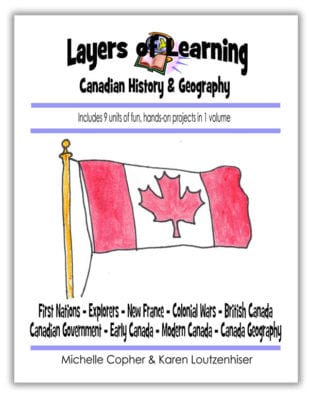
The Canada map exploration is a geography lesson from our Canadian History and Geography supplement. We had so many Canadian homeschoolers request a version for them that we created one. The history of Canada is rich and interesting and the land, culture, and people are diverse and beautiful. For non-Canadians, there is also a more basic country study of Canada in Unit 2-18. Layers of Learning has hands-on explorations, experiments, expeditions, and printables in every unit of this family-friendly curriculum. Learn more about Layers of Learning.
Canada has lots of forests, lots of grasslands, lots of rolling hills and lots and lots of north.
But did you know Canada’s most southern point, Middle Island, Lake Erie, Ontario, is at the same latitude as northern California and the south of France?
Step 1: Library Research
Before you begin the map, read a book or two about Canada. Here are some suggestions, but if you can’t find these, look for books at your library about Canada. The colored smilies above each book tell you what age level they’re recommended for.
As Amazon affiliates, the recommended books and products below kick back a tiny percentage of your purchase to us. It doesn’t affect your cost and it helps us run our website. We thank you!
Step 2: Canada Map
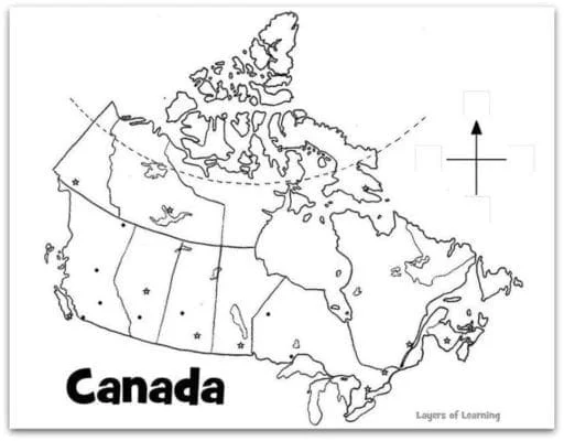
You just need colored pencils, a black permanent pen, and the printable map of Canada.
Learn all about Canada and use this printable map of Canada to record what you find out.
And here are some things to label with the aid of a student atlas:
- Each of the provinces and territories
- Each of the provincial capitals
- The national capital, Ottawa
- Great Bear Lake
- Great Slave Lake
- Lake Athabasca
- Reindeer Lake
- Lake Winnipeg
- The Great Lakes
- Pacific Ocean
- Atlantic Ocean
- Hudson Bay
- Arctic Ocean
- Bay of Fundy
- Gulf of St. Lawrence
- Labrador Sea
- Beaufort Sea
- Vancouver Island
- Victoria Island
- Baffin Island
Step 3: Show What You Know
Using a blank map of Canada, have someone say each of the locations from the list as you try to point them out on the map without looking at what you labeled.
Additional Layers
Additional Layers are extra activities you can do or tangents you can take off on. You will find them in the sidebars of each Layers of Learning unit. They are optional, so just choose what interests you.
Fabulous Fact
The word “Canada” comes from an Iroquois word, kanata, meaning village. It was the word the Indians used to direct the early explorers to their villages.
Additional Layer
The Bay of Fundy on the eastern coast is known for having the highest tidal range in the world.
Watch this time lapse video of the Bay of Fundy with the rise and fall of the tide.
Famous Folks
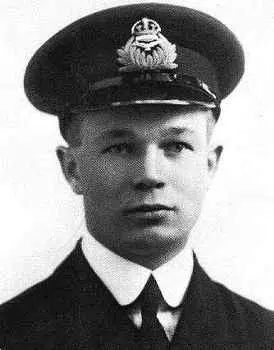
Captain Arthur Roy Brown was a Canadian pilot during World War I. he was given cedit for bringing down the Red Baron, and what’s more, under his command he never lost a pilot of his own, an unmatched feat.
Get a Free Unit
Choose between the first unit in each Layers of Learning subject to try for free when you sign up for the newsletter.
We never spam and you can cancel your subscription at any time.


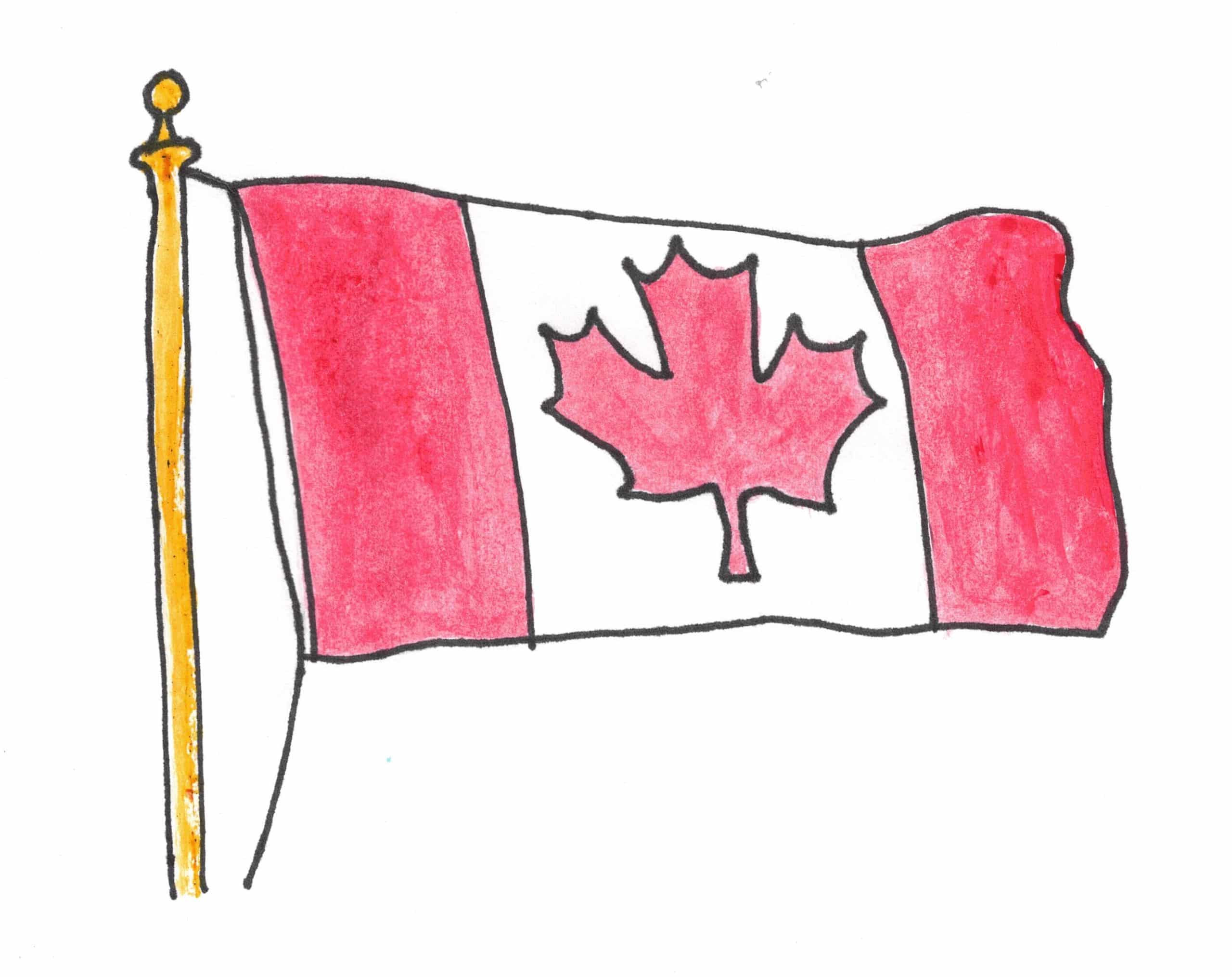


Thank you for the great map!!!
You are so welcome, Deborah!
Thanks a ton I have been searching for a printable map of Canada everywhere to help my 8 yr old. Finally landed on your website. Amazing content. Great work