This exploration is for early grades and middle grades, as the colored smilies show. You can learn about climate zones with your kids from 1st grade to 8th grade.


This exploration is an Earth & Space lesson from the Seasons & Climate unit. Layers of Learning has hands-on explorations in every unit of this family-friendly curriculum. Learn more about Layers of Learning.
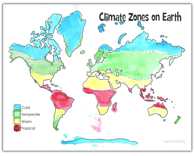
Climate refers to all the factors that make up the weather of a particular place on earth. It includes rainfall, temperature, wind, storms, and seasonal changes. There are four major types climate zones on earth: cold, temperate, warm, and tropical. There are also many many different sub-sets of these major types.
Step 1: Library Research
Before you begin exploring, read a book or two about climate zones. Here are some suggestions, but if you can’t find these, look for books at your library about climate zones. The colored smilies above each book tell you what age level they’re recommended for.
As Amazon affiliates, the recommended books and products below kick back a tiny percentage of your purchase to us. It doesn’t affect your cost and it helps us run our website. We thank you!
Step 2: Climate Zones Map Exploration
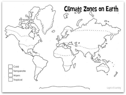
To do this exploration you need a climate zones map and colored pencils, pens, or paints.

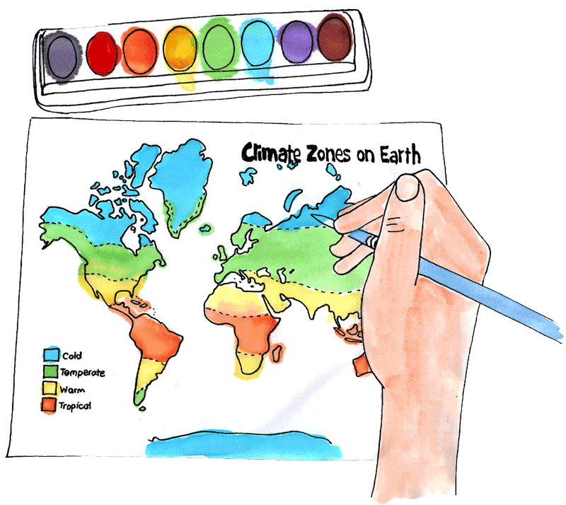
On a Climate Zones Map color in the major bands of climate and label them.
- Discuss what the climate is like where you live.
- How much rainfall do you get on average? and how much did you get in the past year? Was it above, below, or right on the average?
- What are the high temperatures in winter and summer where you live? The low temperatures in winter and summer?
- Do you have a four season climate or not? What do people call the seasons where you are?
Micro-Climates
Discuss micro-climates as well. Within the large temperate band of North America, there are places that are very different from each other. Glacier National Park in Montana has much colder and earlier winters than land a few hundred miles to the west, in central Washington. Glacier National Park is very high in the Rockies and has an alpine climate.
Places near the ocean are affected greatly by the gulf streams that pass near the shore. Western Washington has a much warmer and wetter climate than the eastern part of Washington State because of the warmth and wetness of the ocean. England, with a much higher latitude has a milder climate than the Central Plains of North America.
- What else affects the climate?
- What factors determine the temperature and weather patterns of Earth?
Step 3: Show What You Know
Put the picture you drew in your science notebook. Then, on another sheet of paper explain in words what your map means and why the climate zones are where they are.
Additional Layers
Additional Layers are extra activities you can do or tangents you can take off on. You will find them in the sidebars of each Layers of Learning unit. They are optional, so just choose what interests you.
Additional Layer
Over time the climate of the whole earth goes through warm and cooler cycles. We’ve had a warmer wetter earth, in the time of the dinosaurs. We’ve had a colder earth in the ice age. Research and see if you can find out what scientists believe causes these natural cycles in the earth’s climate.
Additional Layer
Climate determines how we live our lives. Think of the different types or constructions of homes people live in because of the climate?
Additional Layer
Look up information on your hometown and make a graph showing temperatures or rain falls for a past period of time, like highest temperatures over the last ten years or the amount of rainfall during each month of the last year.
Get a Free Unit
Choose between the first unit in each Layers of Learning subject to try for free when you sign up for the newsletter.
We never spam and you can cancel your subscription at any time.


