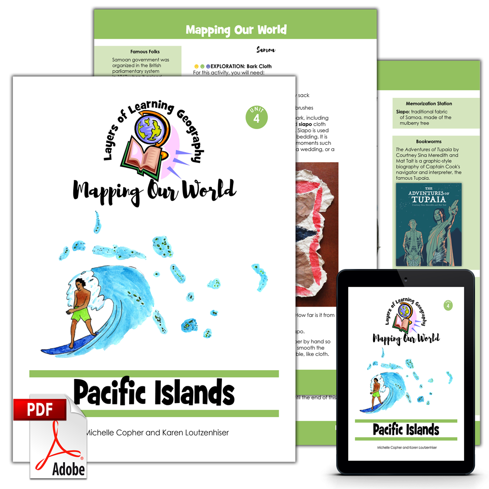
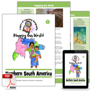
Pacific Islands is the fourth unit in the Mapping Our World geography course. This unit begins by learning about map projections and how they always distort the countries and continents. Then students will learn about the eleven independent island nations of the Pacific Ocean. The focus will be on Fiji, Samoa, the Federated States of Micronesia, and Tonga.
Each Mapping Our World unit includes a skills lesson about maps and map making followed by a focus on a specific region of the world. By the time you complete the entire four year cycle of Layers of Learning Geography you will have covered the entire world and learned the skills and knowledge needed to analyze and understand maps, cultures, people, governments, and the planet all over the world.
This unit is a guide for the mentor to use in creating lessons and directing discussions and learning. It is not a textbook for the student.
This unit includes sections on:
- Map Projections
- Fiji
- Samoa
- Federated States of Micronesia
- Tonga
This is an activity based curriculum. You pick activities to do as you read books and watch videos about countries and the countries of the Pacific. Here are some of the activities found in this unit:
- Make a notebooking page about the three major types of map projections
- Use a string and a globe to compare distances on a sphere it distances on a flat map
- Color and label a map of all eleven Pacific Island countries
- Make a craft of the national flower of Fiji
- Learn about the importance of the coconut palm and make coconut cookies
- Make an advertisement for a business in Micronesia to learn about the challenges of economic development
- Cut wand color a paper chain Micronesian family
- Make a grass skirt and try a Tongan dance
- Plus much more!
See Inside
This is double page spread of the inside of the Pacific Islands unit:
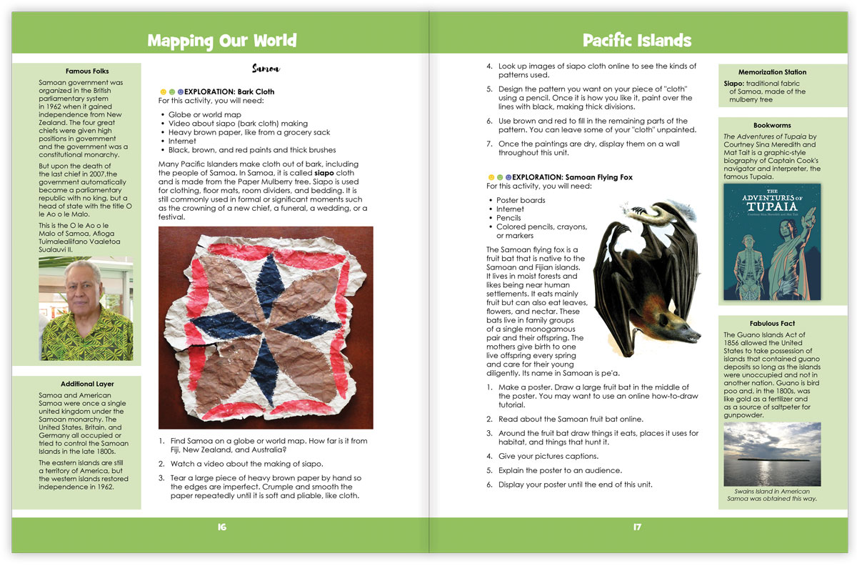
In the image above you can see a two page spread from the Pacific Islands unit. This page shows some explorations and sidebars about Samoa. The geography units teach about the physical features, animals, plants, and cultures of the world, country by country. This unit includes sections on four specific countries and sidebars, maps, and books that include the entire Pacific Island region.
Each Layers of Learning Geography unit includes library lists of books, a family read-aloud suggestion, hands-on activities, printables and paper crafts, sidebars for extra learning, and tools to help you assess student’s progress and mastery. Learn more about how Layers of Learning works.
Flexibility
This unit was written to be used for a month but contains plenty of content for many more weeks of learning if you choose. This is a pick-and-choose curriculum, meant to be cycled back to in the future when your child is older. As such, it intentionally includes far more material than you can possibly cover in a month.
Pacific Islands is also part of the overall Mapping Our World, the second Year of the four-year Layers of Learning Geography cycle. If you use the program in order, it will take you though the geography of the world from continents and the physical planet in Year One, to mapping skills in Year Two, then to cultures in Year Three, and finally, to government and society in Year Four. Every year is also a tour of the whole planet, making stops on every continent. However, each unit stands alone and can be used independently of any other unit.
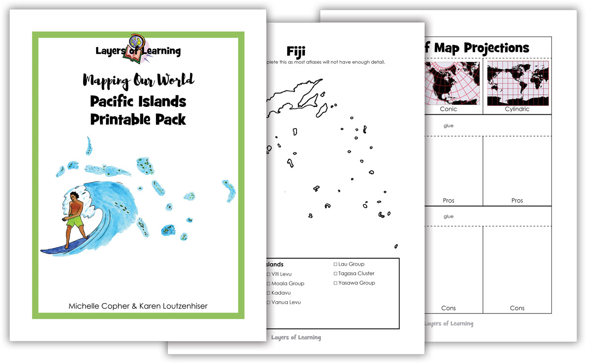
Printable Pack
This unit comes with a downloadable Printable Pack that includes all the student worksheets. The printables can be copied as many times as needed for your family or class.
You can download the Printable Pack from your receipt or from your account at Layers of Learning.
Extra Resources
This unit comes with extra weblinks and a YouTube video playlist on the Mapping Our World Resources page.

mstone1949 –
We are loving learning about places in the world that most curriculums just skip. I learned a ton from this unit that I had no idea about before. My kids were blown away by how many islands we learned about in this one that they had never even heard of before. Now they have them memorized!