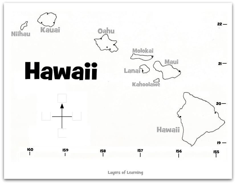
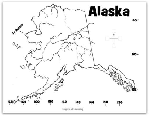
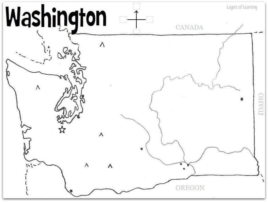
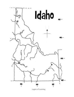
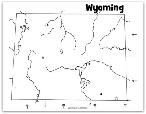
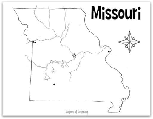
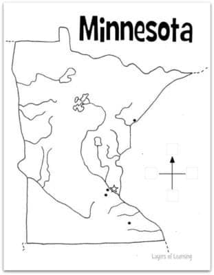
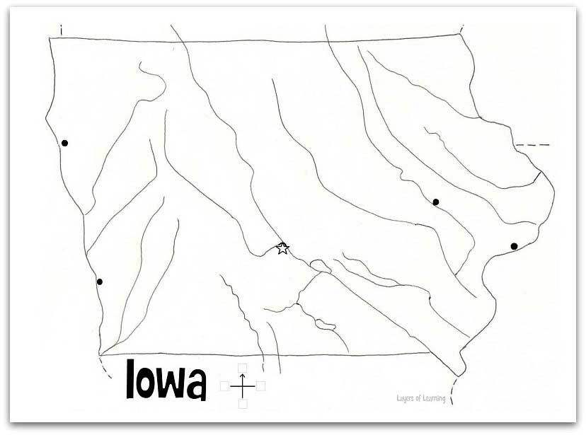
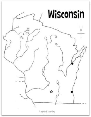
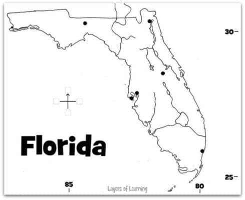
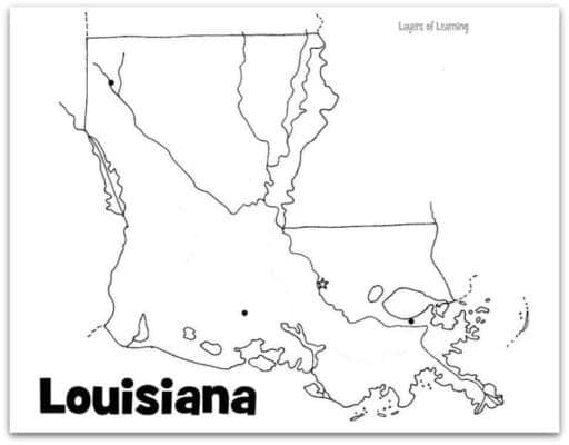
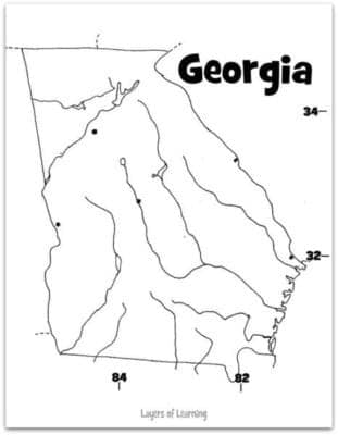
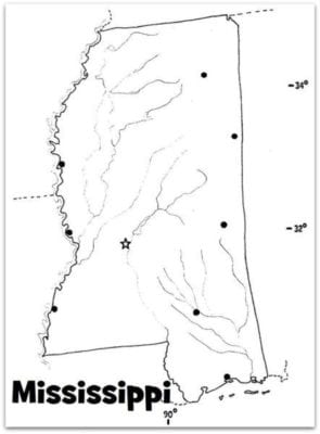
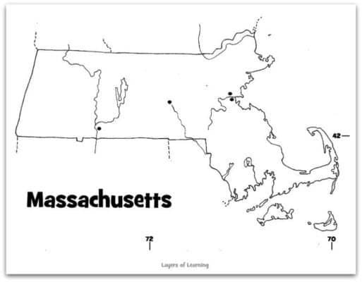
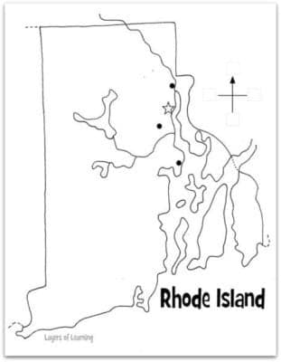
This exploration is for all ages, as the colored smilies show. Color U.S. state maps to show population, practice latitude and longitude, show landscapes, or depict rainfall, plus many more ideas.


The printable U.S. state maps from this exploration can be used with many Layers of Learning units from Year Four, when you learn about the regions and states of the United States.
Maps are excellent tools for learning geography. Not only can you learn locations and shapes of places but you can learn about landscapes, biomes, climate, and how people use the land.
Use the printable U.S. state maps below in a variety of ways to help your children learn the geography of the United States.
Step 1: Library Research
When you start learning about a state or region begin with a trip to your library. Search for individual states or books about all of the states. Here are three suggestions, one for each age group. If you can’t find these, use books your library does have. Read books individually, as a group, or a combination. Just read what appeals to you. The reading shouldn’t be an “assignment.” It should be fun and interesting as well as the hands-on explorations.
As Amazon affiliates, the recommended books and products below kick back a tiny percentage of your purchase to us. It doesn’t affect your cost and it helps us run our website. We thank you!

The Scrambled States of America
by Laurie Keller
Step 2: Map Explorations
In the Layers of Learning curriculum, there are many choices of explorations. You don’t need to do them all. Choose your favorites and save the rest for another year. Included in these explorations are state maps for every state in the U.S., notebooking pages, and games. Just choose a few ideas.
Supplies
Besides the maps and printables, which you can print below, you’ll want supplies for coloring or painting. Traditionally, maps for school are completed with colored pencils and black ink. But you can also use watercolor paints, oil pastels, crayons, glitter, or I don’t know, go crazy with glitter crayons. Use whatever art media you like.
Below you’ll see options for coloring state maps. To find data for rainfall, population, or other themes you want to show on your maps use a children’s atlas or find the information online.
EXPLORATION: Rainfall Map
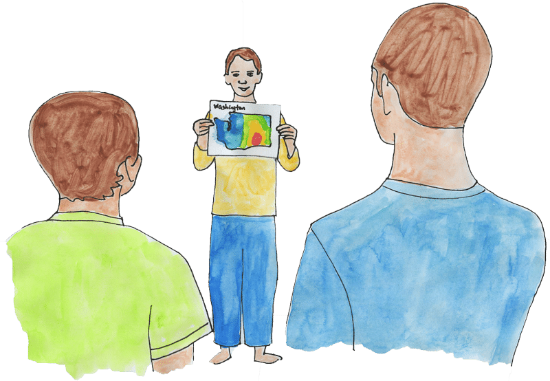
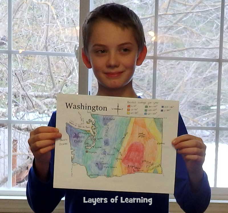
This is a map of Washington state showing the average rainfall in different parts of the state. A map like this shows how climate can change because of mountain ranges creating a rain shadow. You can also see how different crops or natural resources would be suited to one part of the state and not others.
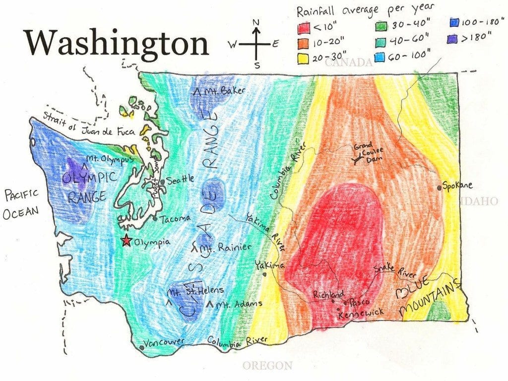
A rain fall or temperature map can be done in any state. What do you learn about your state from its weather patterns?
EXPLORATION: Vegetation Map
This map of Idaho shows where different species of trees grow. Each tree species has water and temperature requirements. What can you learn about the climate in each area based on the map?
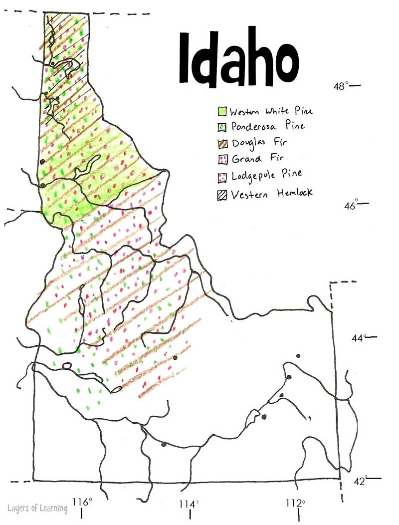
You can make a vegetation map of your state using native trees, flowers, or other native plant species. Just choose a few and map where they can be found.
EXPLORATION: Population Map
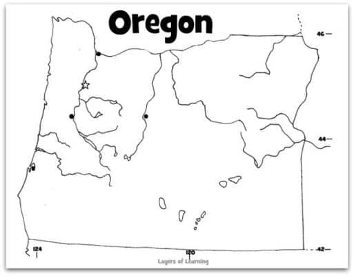
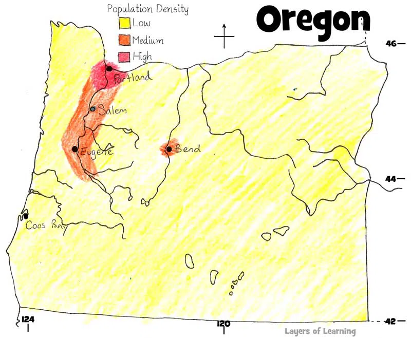
This is a population map of Oregon. Why do you think most of the population lives in that central corridor from Portland south? What is special about the history or geography of that area?
EXPLORATION: Elevation Map
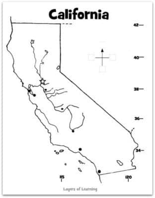
California has high mountains, low valleys and lots of land in between. An elevation map is colored to show differences in the height of the land. Where do you think the best crop land in California is at?
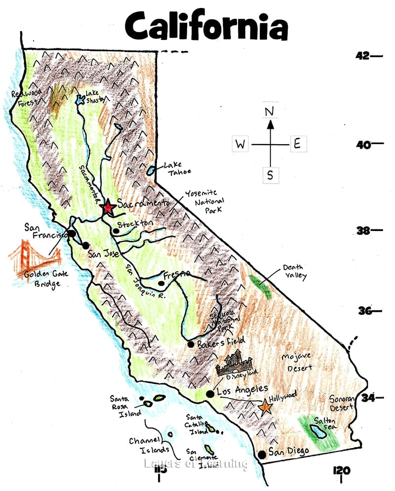
Make an elevation map of your state. Where are the highest places and the lowest? How is the land use by people determined by the elevation? How is the climate and ecosystem determined by the elevation?
Maps of Each State
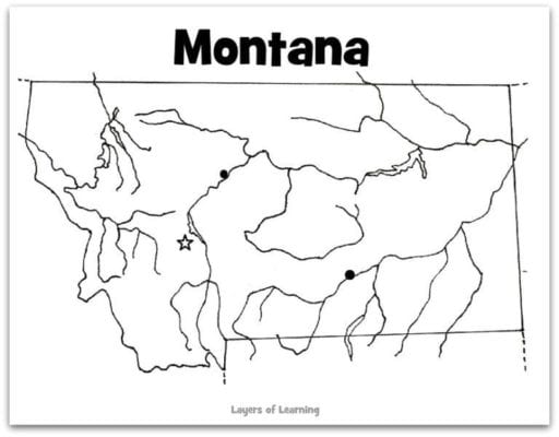
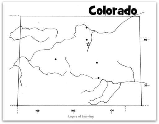
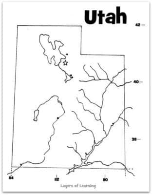
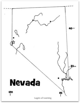
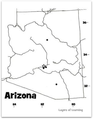
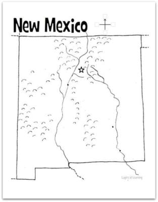
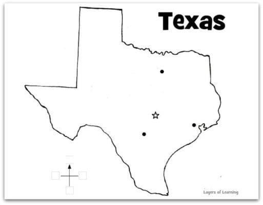
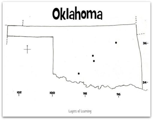
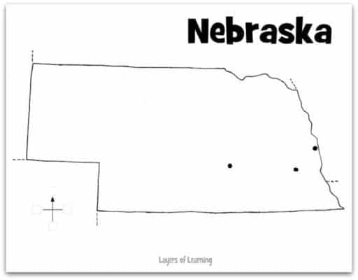
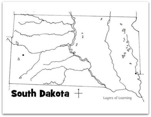
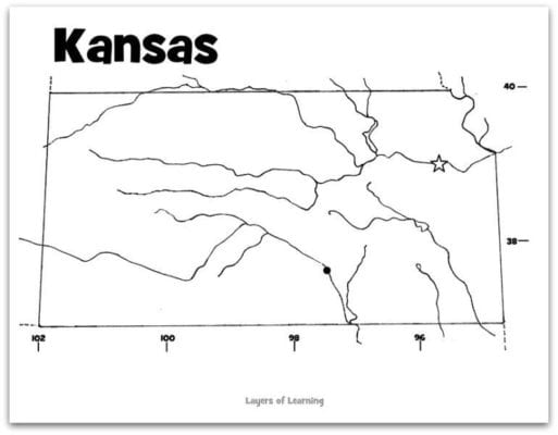
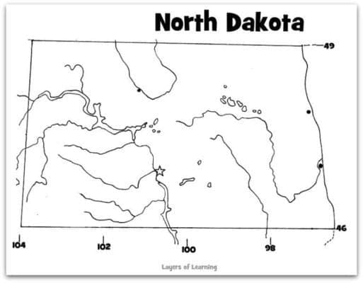
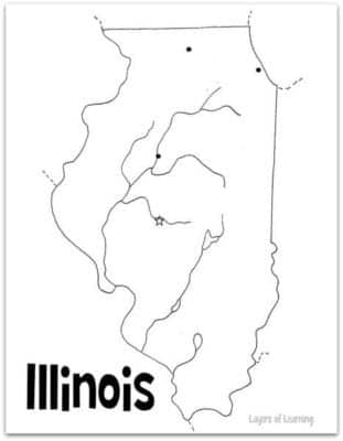
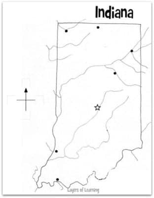
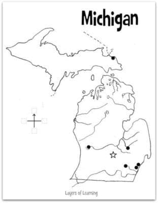
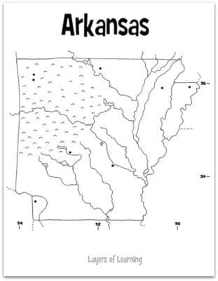
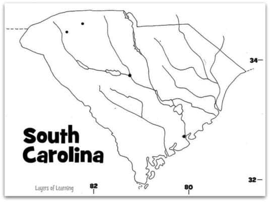
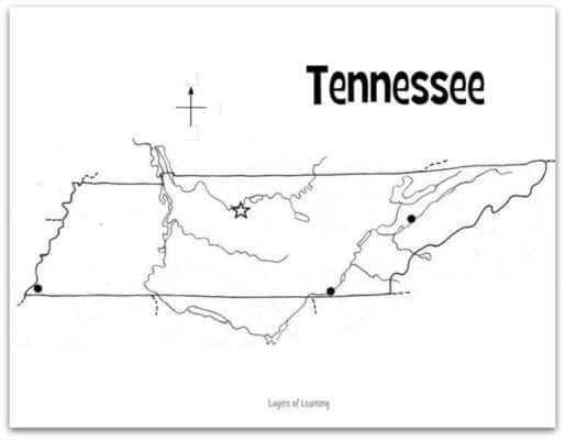
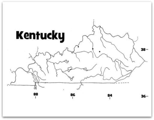
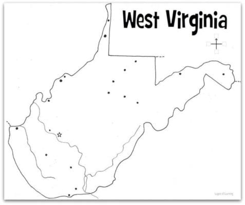
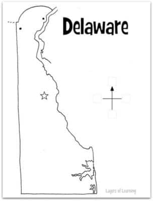
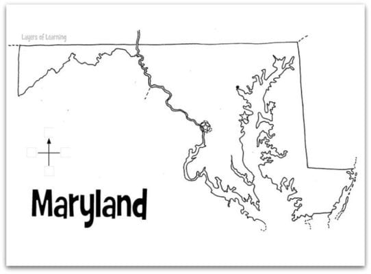
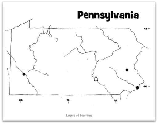
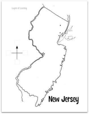
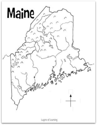
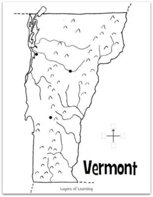
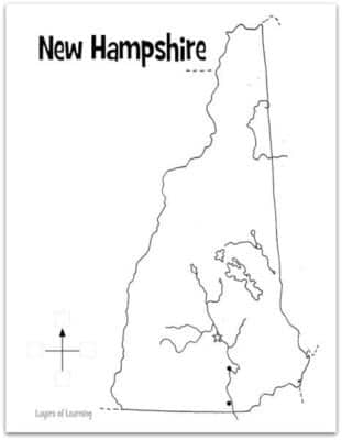
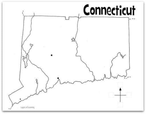
Below are printable maps of each state in the U.S. arranged by region. Click on the image to get the pdf to print.
Pacific States
Rocky Mountain States
Southwest States
Great Plains States
Heartland States
Southern States
Appalachian States
Atlantic States
New England States
EXPLORATION: Statehood Notebooking Page
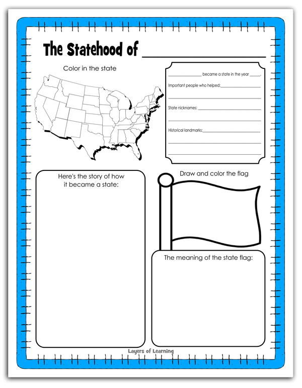
Print this Statehood Notebooking Page for any state you want to fill in more facts about. You’ll send your child off to research or do research together as a family.
We recommend you use this for your own state, but you could also allow each child to choose whatever state he or she likes, research, fill in the sheet, and then present their information to the group. With applause at the end!
EXPLORATION: State Scattergories
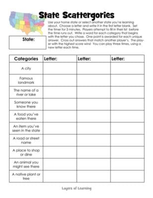
State Scattergories is a fun review or ice breaker game. Choose any state you are learning about, your home state or another, then choose a letter. Fill in each rectangle on the printable with places, people, or things from that state that start with your letter.
For example, If I were doing Idaho and the letter “R” I could put “Riggins” in the rectangle next to “A city” because Riggins is a city in Idaho that starts with “R”.
After everyone has finished filling in his or her first column, compare answers. Any unique answers, that no one else thought of, get a point. The highest score wins.
After the first practice round, set a 3 minute timer so it all has to be done quickly.
Step 3: Show What You Know
Show your map off to an audience, like your family, your best friend, or your Grandma. Explain what the colors and symbols on your map mean and what you learned about the state you studied. At the end of your presentation take questions from the audience.
Before the presentation remind the audience about good behavior. Listen attentively. Ask questions about the presentation at the end. Don’t forget to clap enthusiastically. The presentation is not a time for criticism, it is only a time for applause!
Additional Layers
Additional Layers are new directions you can take your exploration of these states. They are optional, so just pick the ones that interest you. They are in the sidebars of every Layers of Learning unit.
Fabulous Facts
Learn a few interesting or crazy facts about the state you are studying. For example, did you know that Smokey the Bear was rescued from a wildfire in the state of New Mexico.
Create a game with your facts.
Famous Folks

Every state was home to a tribe or tribes before it was a state. Find out who lived in your state. Is the tribe still there?
Memorization Station
Memorize the states with a printable BINGO game.
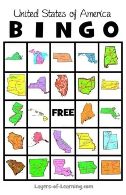
First, print out the USA BINGO call sheet. Cut apart the states and put them in a bag. Draw them one at a time.
Then give each child a BINGO card. There are two BINGO card packs, each with 20 unique cards.
- BINGO Pack #1 – with 10 pages, 2 cards on each page.
- BINGO Pack #2 – with 10 cards, 2 cards on each page.
Get a Free Unit
Choose between the first unit in each Layers of Learning subject to try for free when you sign up for the newsletter.
We never spam and you can cancel your subscription at any time.


