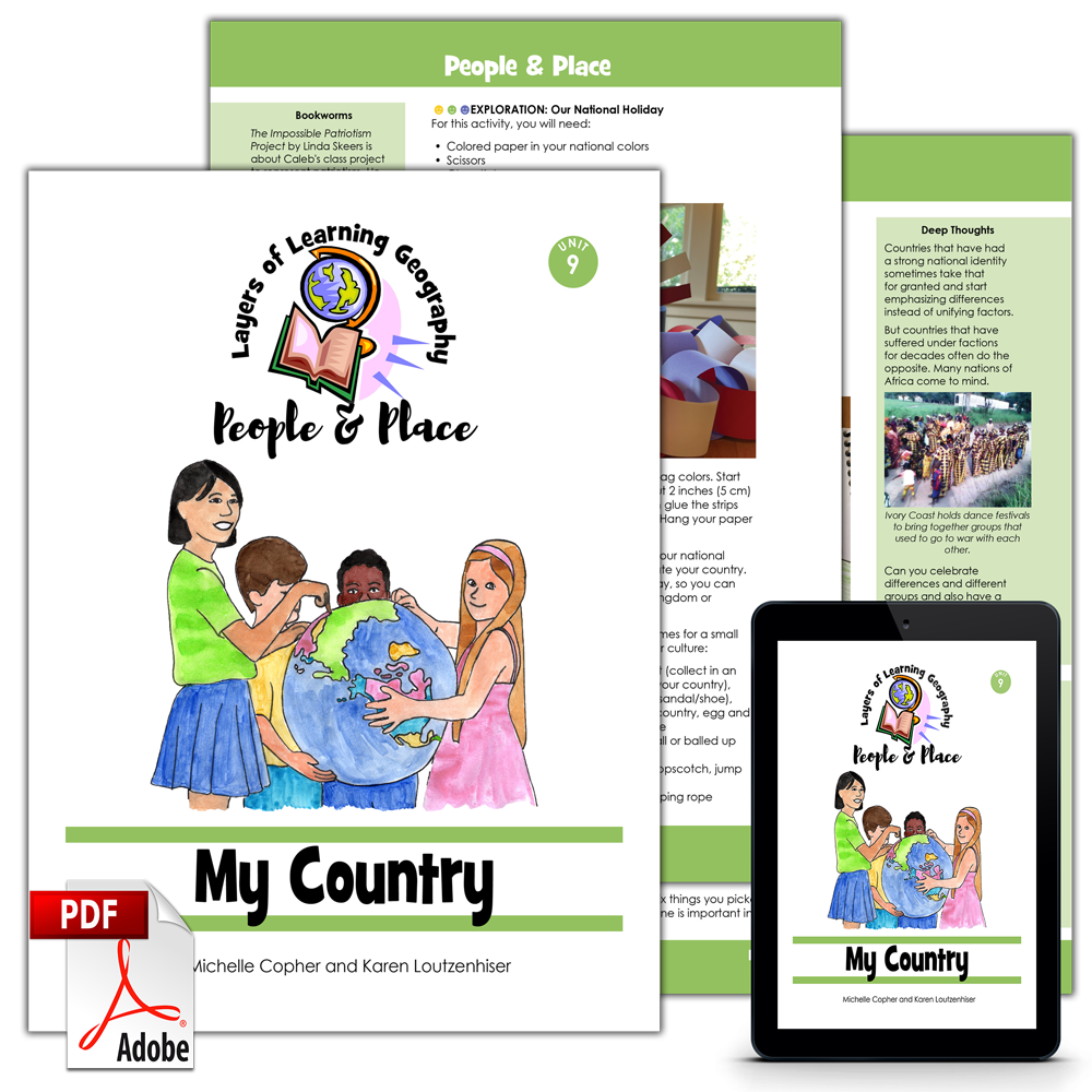
My Country is the ninth unit in the People & Place geography course. This unit is for anyone in any country. It is filled with projects that can be adapted to your country as you learn about your maps, culture, and government. The unit includes maps of the United States, Australia, Canada, New Zealand, and the UK. Project images and sidebars includes these countries as well.
This unit is a guide for the mentor to use in creating lessons and directing discussions and learning. It is not a textbook for the student.
This unit includes sections on:
- Maps
- Culture
- Landmarks
- National Symbols
Hands-on Learning
This is an activity based curriculum. You pick activities to do as you read books and watch videos about My Country. Here are some of the activities found in this unit:
- Hand draw, label, and color a map of your country
- Label and color a map showing your natural resources
- Use gazetteer to find and label places in your country on a map
- Map the places you’ve been and the places you want to go in your country
- Cook traditional recipes from around your country
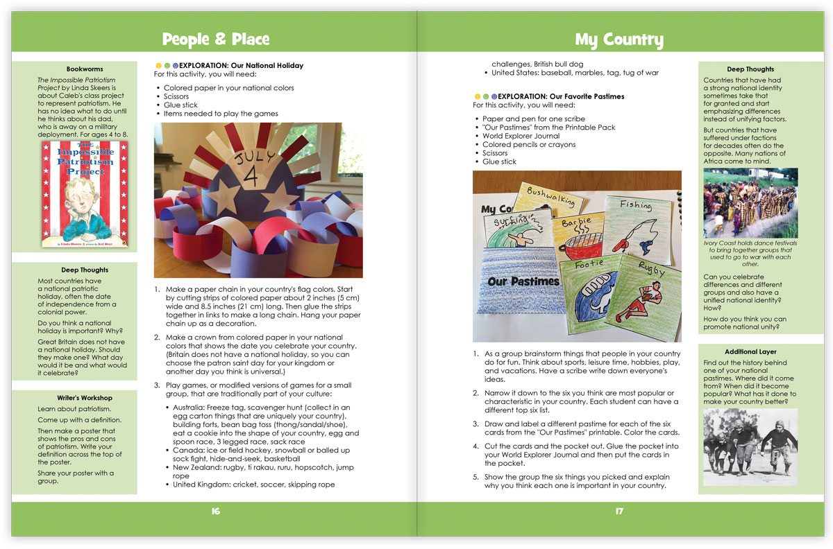
- Make a garland of your country’s major holidays
- Make decorations and play traditional games to celebrate your country’s national holiday
- Craft and color a story from your nation’s traditions and put it in your World Explorer Journal
- Create an big poster size adventure map of cool things to do in your country
- Make a three part shaped poster of three of your country’s famous leaders
- Complete a worksheet of your country’s political leaders and their jobs
- Plus much more!
See Inside
This is double page spread of the inside of the My Country unit:
Each Layers of Learning Geography unit includes library lists of books, a family read-aloud suggestion, hands-on activities, printables and paper crafts, sidebars for extra learning, and tools to help you assess student’s progress and mastery. Learn more about how Layers of Learning works.
Flexibility
This unit was written to be used for a month but contains plenty of content for many more weeks of learning if you choose. This is a pick-and-choose curriculum, meant to be cycled back to in the future when your child is older. As such, it intentionally includes far more material than you can possibly cover in a month.
My Country is also part of the overall People & Place course, the fourth Year of the four-year Layers of Learning Geography cycle. If you use the program in order, it will take you though the geography of the world from continents and the physical planet in Year One, to mapping skills in Year Two, then to cultures in Year Three, and finally, to government and society in Year Four. Every year is also a tour of the whole planet, making stops on every continent. However, each unit stands alone and can be used independently of any other unit.
Printable Pack
This unit comes with a downloadable Printable Pack that includes all the student worksheets. The printables can be copied as many times as needed for your family or class.
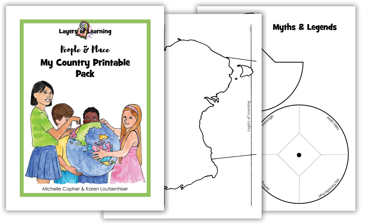
You can download the Printable Pack from your receipt or from your account at Layers of Learning.
Extra Resources
This unit comes with extra weblinks and a YouTube video playlist on the People & Place Resources page.
Reviews
There are no reviews yet.