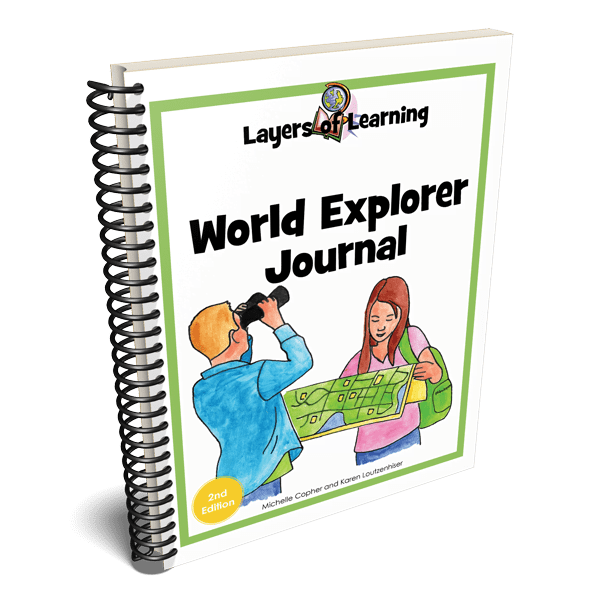
The World Explorer Journal is an 8 1/2″ x 11″ spiral-bound book you fill as you learn about the world in Layers of Learning Geography. The pages are titled to correspond with each Layers of Learning Geography unit.
How to Fill Your Book
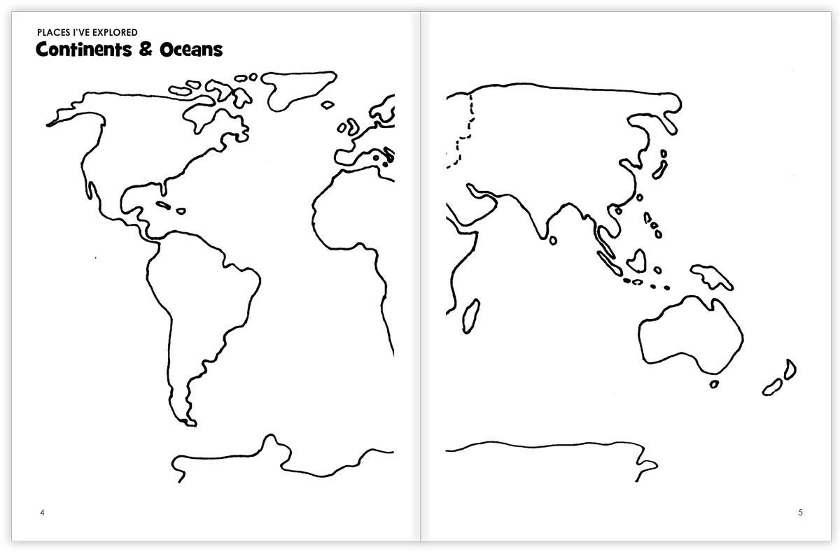
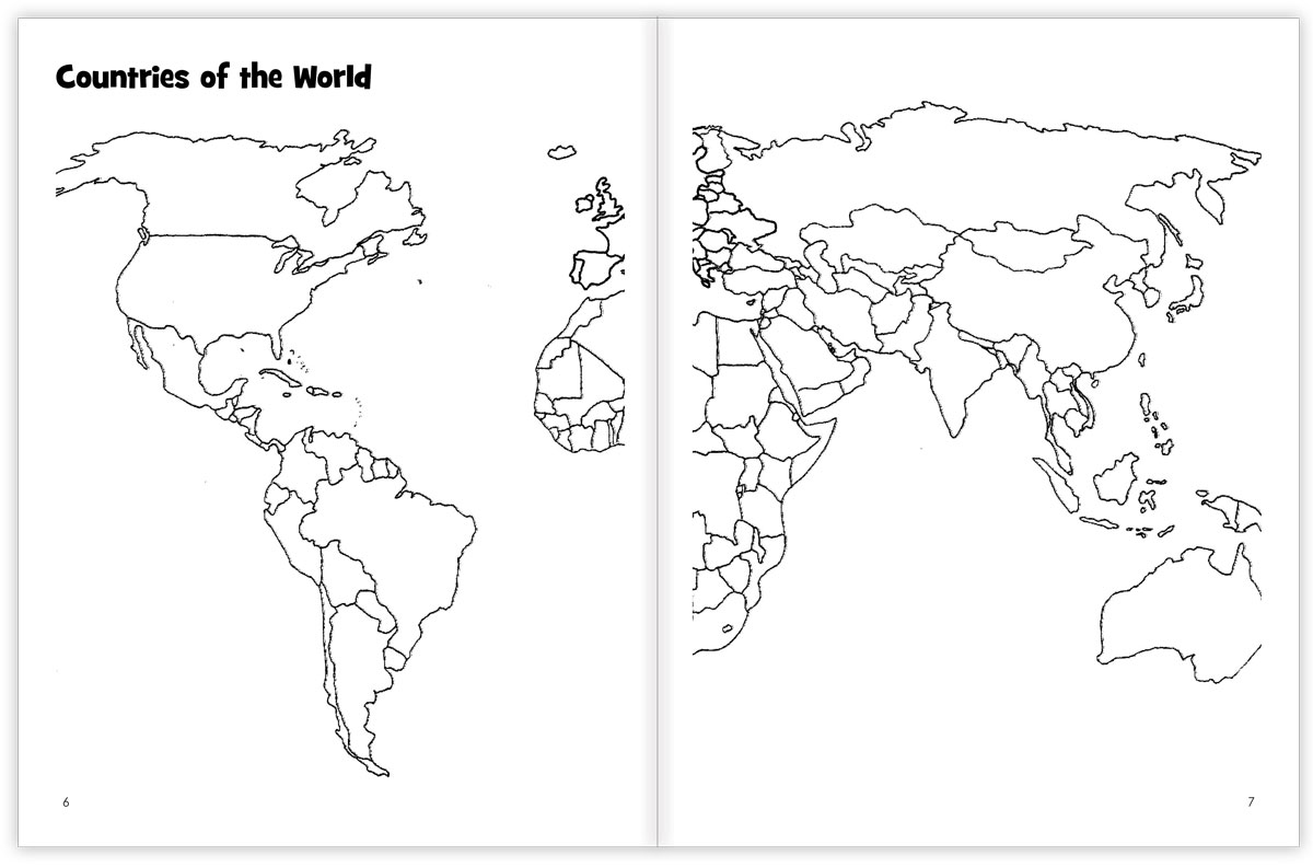
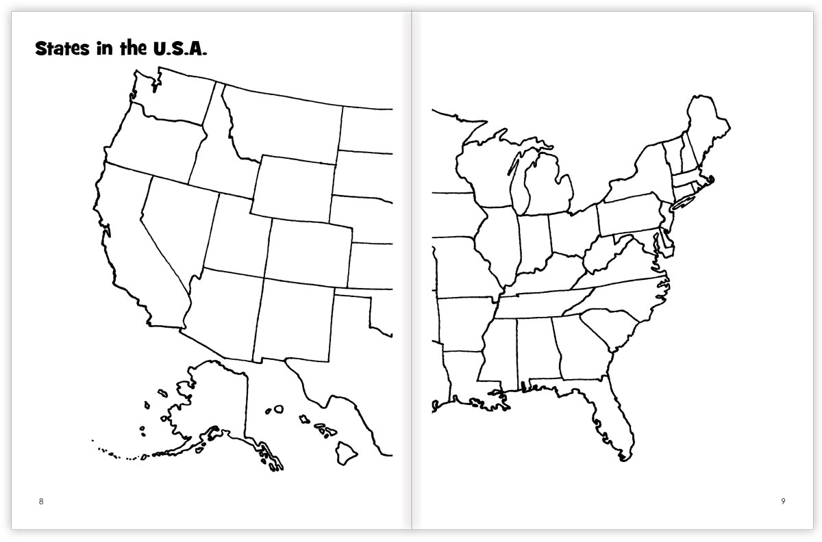
Most pages include simple outline maps for you to fill in the way you want.
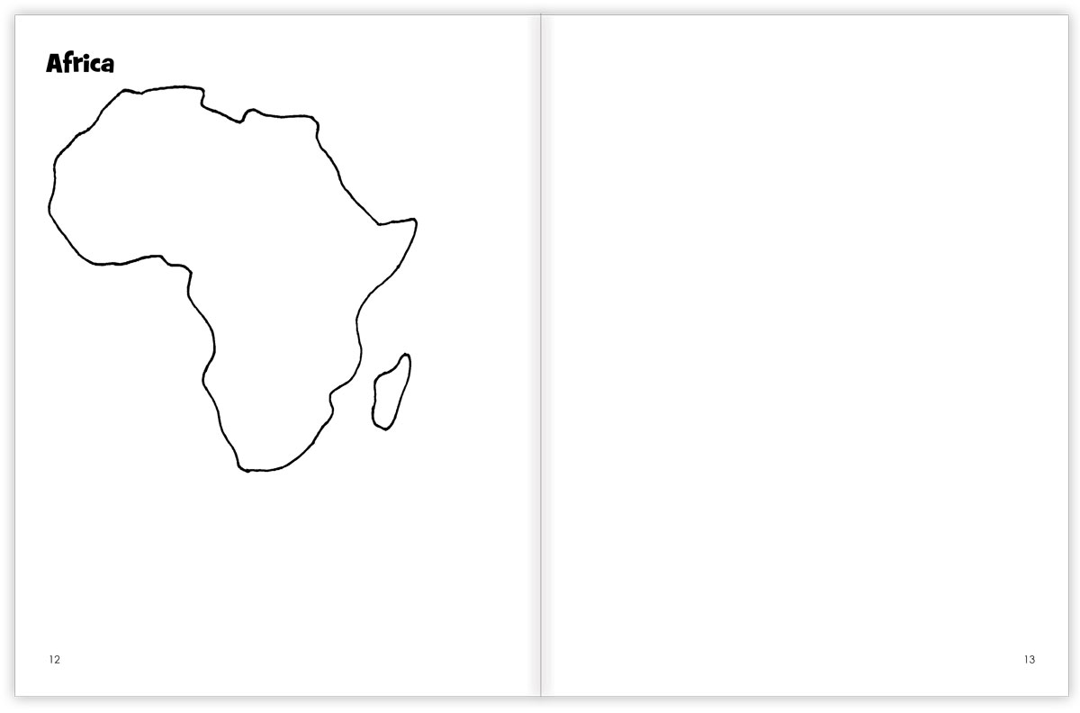
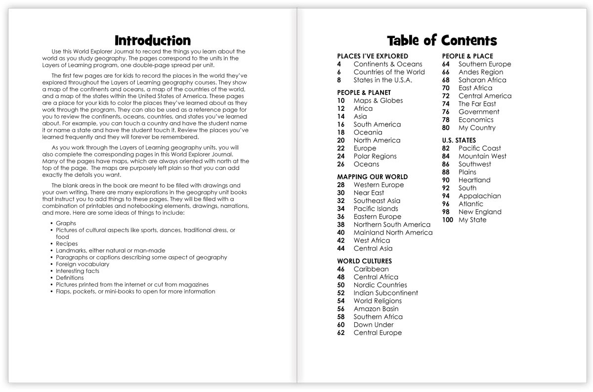
Each page also includes lots of blank space so kids can fill in facts about the landscape, culture, or people from each part of the world. You will be instructed in Layers of Learning Geography to draw, write or paste printables into your World Explorer Journal as you complete lessons. Here are some ideas of even more things you can add:
- Graphs showing temperature, population, major religions, and so on
- Recipes from the region or country
- Landmarks, manmade or natural
- Foreign language vocabulary
- Interesting facts
- Definitions
- Pictures printed from the internet or cut out of magazines
- Flaps, pockets, or mini-books pasted on the pages
The pages look like this:
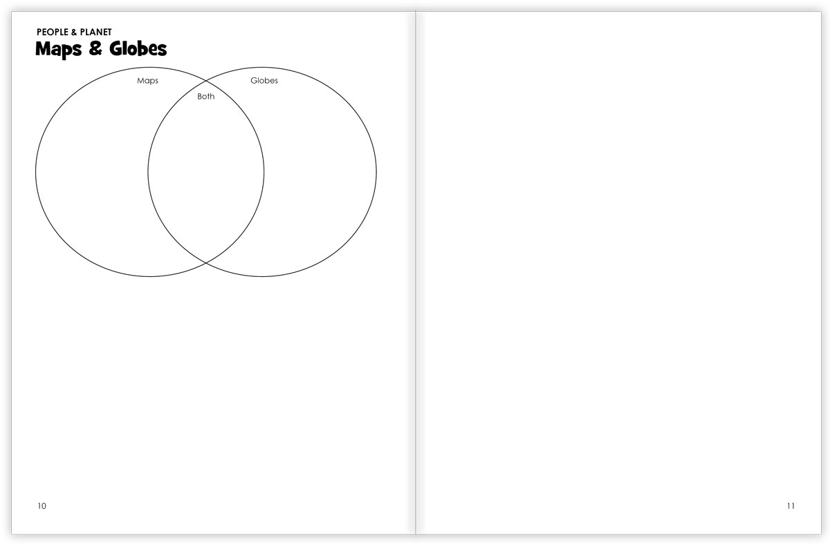
Once you fill them out with instructions from the unit, they will look something like this:
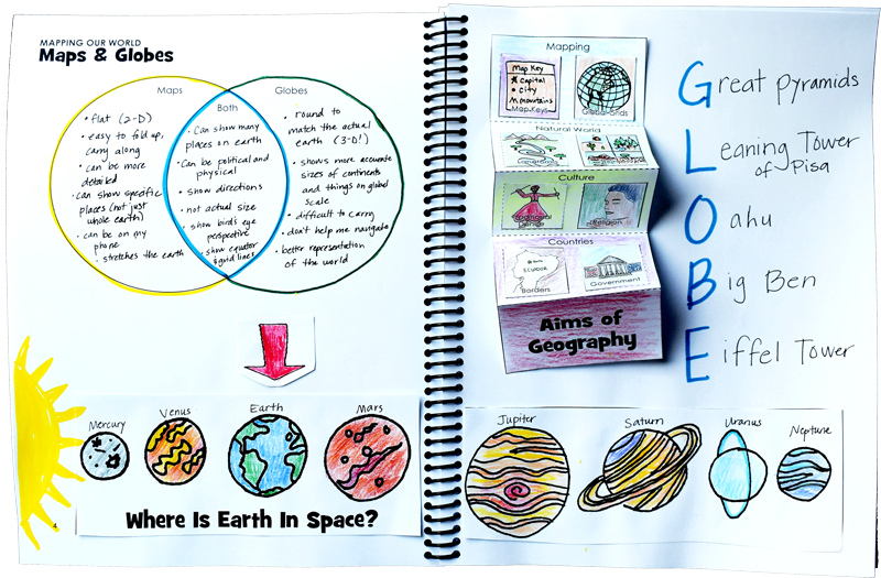
This World Explorer Journal coordinates with the Layers of Learning Geography program and will make it more enjoyable for all young geographers, but if you wish you can substitute any drawing sketchpad.
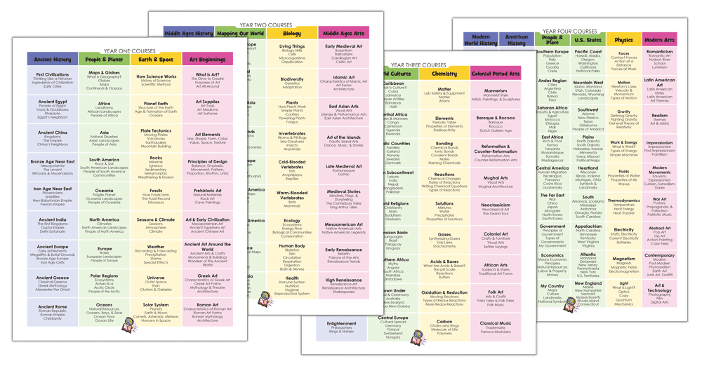
***Please be aware that as we unroll the new Layers of Learning program over several years, there will be updates and changes to the Student Journals. We are coordinating them to match the new units as we release them, so you may have to make some modifications to the existing pages. The titles, subtitles, clipart, number of pages, and other details are all subject to change throughout the course roll-out. The exact pages and descriptions you see on this product page are subject to change as we adjust and release the new units. These product pictures show examples of the types of pages found within the Student Notebooks, but they are not exact. We apologize for any inconvenience this may cause; we assure you that we are listening to our families, making constant improvements, and trying to provide the best possible layouts based on your suggestions and feedback!!!




Reviews
There are no reviews yet.