

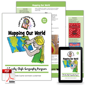
Mapping Our World is an activity-based geography program. It teaches skills and principles about map reading and map making as well as taking a tour of the planet touching on regions in every continent. The best part is the family-style design that allows you to teach all ages at once.
Learn more about how Layers of Learning works.
A Pick-and-Choose Curriculum
A mentor uses Mapping Our World to custom tailor learning to the students. The mentor chooses from among the library book recommendations, video recommendations, and activity ideas presented in the book. Mentors and students learn together as they read, watch, craft, cook, play, and create. To complete the activities you will need craft supplies, a student atlas, a world map or globe, and some household items. This course was designed for multiple ages or abilities of students to learn together in a homeschool or classroom.
Units In This Course
Mapping Our World includes nine individual month-long units including:
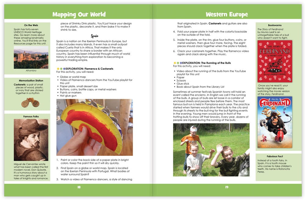
- Western Europe – Learn about what makes a country a country, and then explore the UK, Ireland, the Netherlands, France, and Spain.
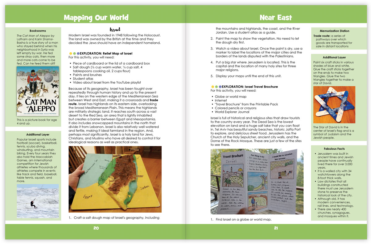
- Near East – Begin with global grids of latitude and longitude and then learn about Saudi Arabia, Iraq, Israel, Turkey, and Iran.
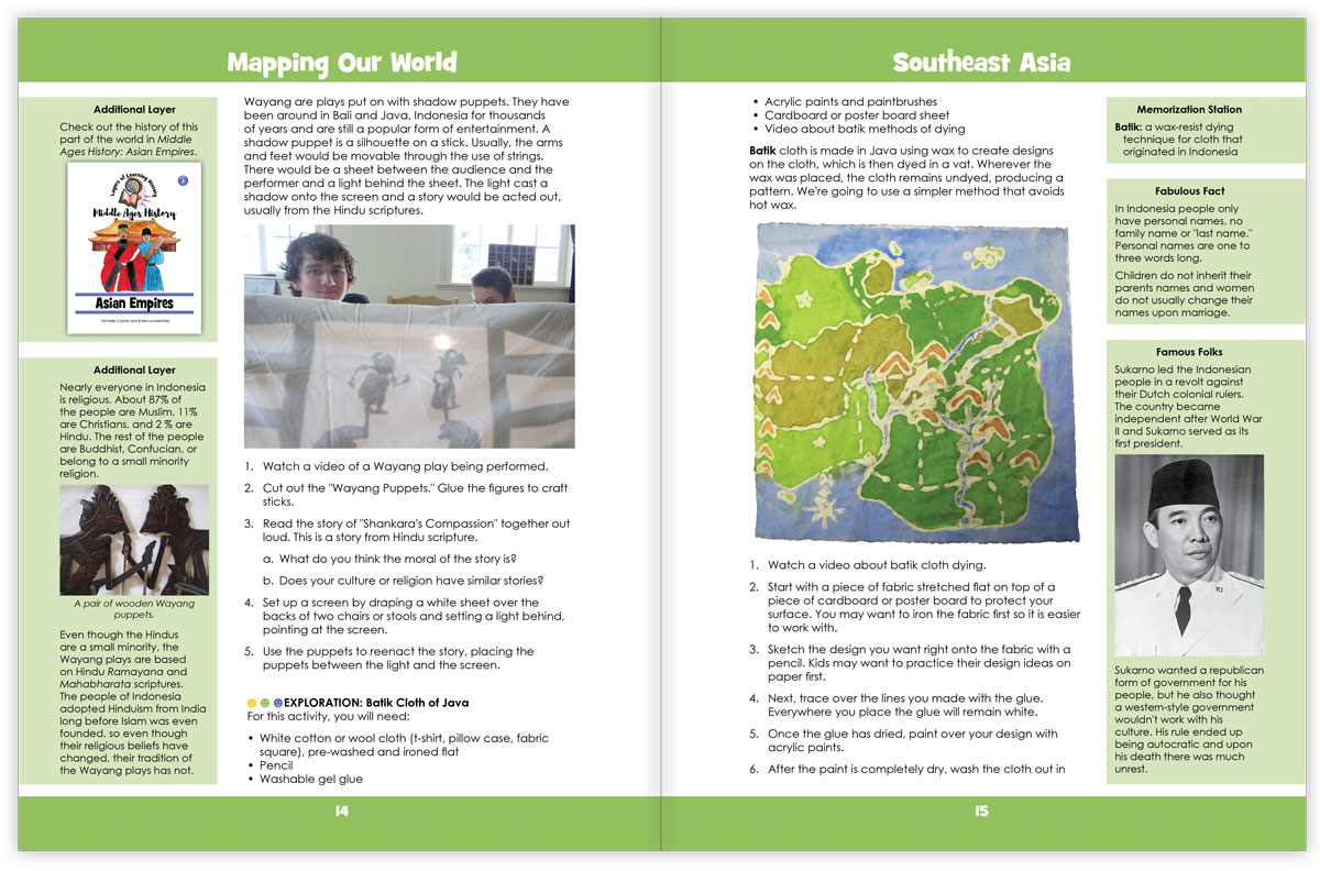
- Southeast Asia – This unit covers map making skills and then Indonesia, the Philippines, Thailand, and Vietnam.
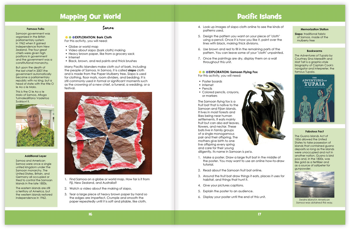
- Pacific Islands – In this unit learn about map projections and then Fiji, Samoa, Federated States of Micronesia, and Tonga.
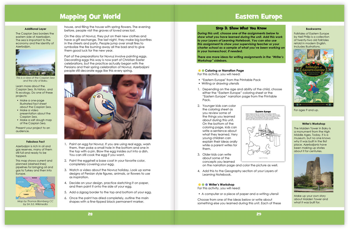
- Eastern Europe – Learn about transportation then the countries of Russia, Romania, Estonia, Latvia, and Lithuania, and then Georgia.
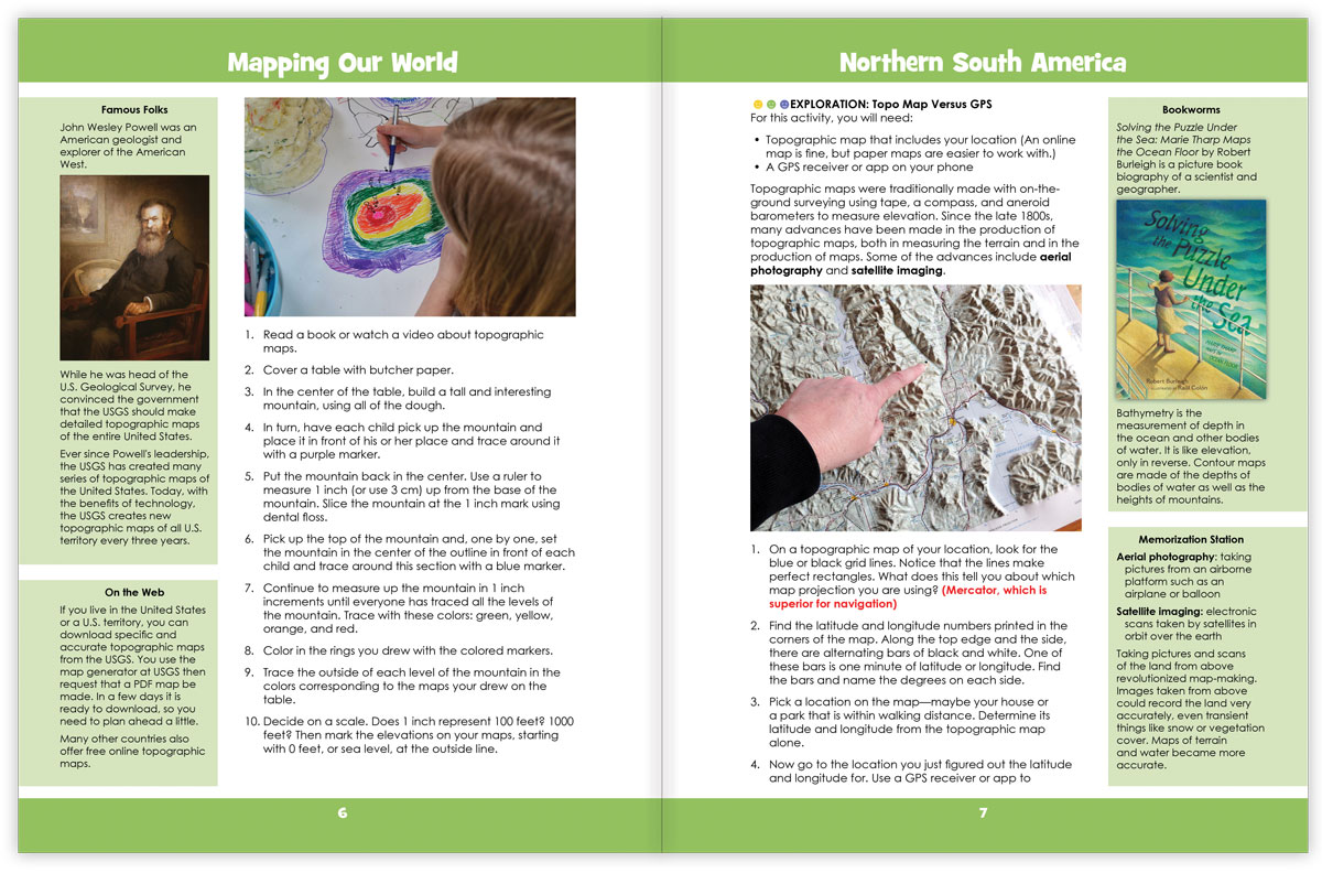
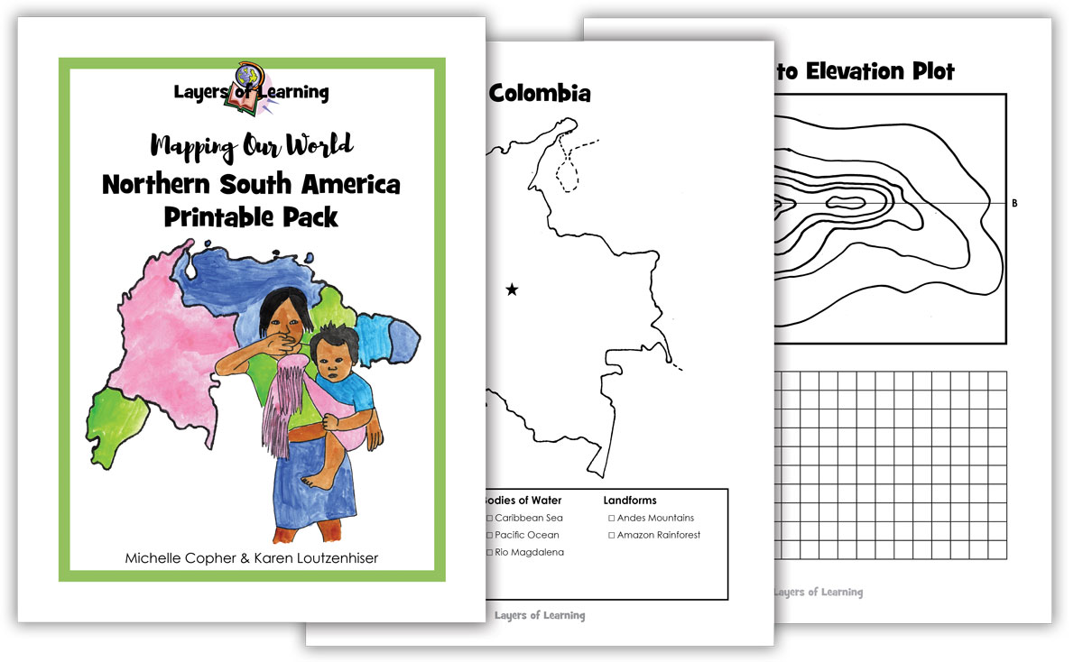
- Northern South America – Start this unit by learning about topographic maps. Then explore the countries of Venezuela, Colombia, Guyana, and Ecuador.
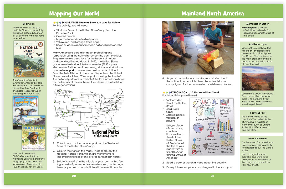
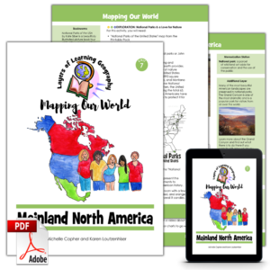
- Mainland North America – Learn about time zones and then Canada, the United States of America, and Mexico.
- West Africa – Begin with comparing and contrasting physical and political maps, then learn about Benin, Nigeria, Ghana, and the Ivory Coast.
- Central Asia – Learn to navigate with a map then study Kazakhstan, Afghanistan, Turkmenistan, and Uzbekistan.
A Layers of Learning Geography Lesson
Each Exploration in the units is written as a complete lesson plan. It will direct you to books to read, videos to watch, projects to craft, experiments to perform, and discussions to have. The units are clear full of Explorations to choose from, and you won’t have time for them all. This is a pick-and-choose curriculum.
Besides the geography lesson for the day, the units are lined with sidebars that direct you to discussions, books, famous people, interesting facts, writing ideas, and more.
You will also see a Library List at the beginning and a Show What You Know section at the end that will help you create assessments or tests based on your individual learning.
Reusable and for All Ages
These units books are for the mentor, not to hand to the student. They are supposed to be used repeatedly. Since this is a pick-and-choose curriculum, you do some of the explorations and save others for later on. If you follow the four-year cycle, you will progress through People & Planet, Mapping Our World, World Cultures, and People & Place over the course of four years. Then you will cycle back to People & Planet in the fifth year when your kids are older and learning at a higher level. In all, you may use this book three times with your child.
The Mapping Our World units contain lessons ranging from learning the points of the compass to analyzing the way maps can be used to lie. There are plenty of concepts for little kids and plenty to challenge high schoolers. Most lessons are meant to be taught to many ages, from 6-year-olds clear up to seniors in high school. Each age group gets the same Exploration and principles, but they learn on the level they are ready for. Books from your library and video from the YouTube playlists customize the learning for each age.
Extra Resources
YouTube playlists and links to helpful websites are all assembled and ready for you to access on the Mapping Our World Resources page.
Printable Packs
Mapping Our World also includes printables for every unit. These are worksheets or paper crafts for the students. The Printable Packs are available as a digital PDF download and come with your purchase on your receipt if you buy the book here or as a free download with the coupon code inside the book if you bought the paperback elsewhere.
Also Sold As Individual PDFs
The Mapping Our World course also comes as individual PDF units you can purchase one-by-one as you go. The individual PDFs are exactly the same content as the units that are included within the paperback or PDF Mapping Our World book. It’s like buying the course chapter by chapter in a digital format.
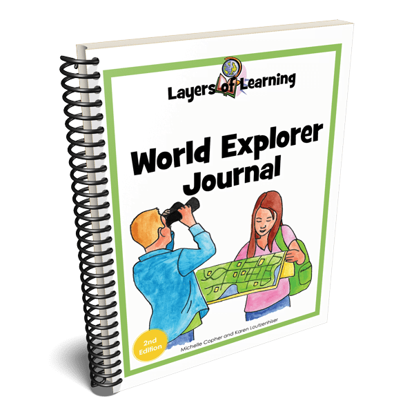
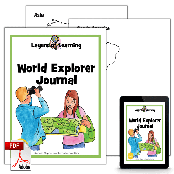
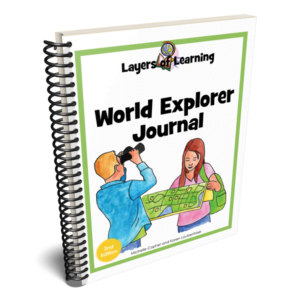
Student Journal
As students learn about the world they are asked to assemble their own World Explorer Journal. You can purchase printable or paperback copies of the World Explorer Journal. If you prefer you can use an art sketchbook to make your own.
Reviews
There are no reviews yet.